
Indoor Location Intelligence Solutions With Mapsted
Indoor Location Intelligence Solutions | People Counting & Asset Tracking Singapore
Transform the Way People and Assets Move Through Your Space — Without Beacons, Wi-Fi or GPS
Large indoor environments such as hospitals, airports, retail malls, university campuses, and convention centres generate operational challenges that GPS cannot solve. How do visitors navigate to the right department? Where are high value assets when they are needed? Which zones are congested during peak periods? How can a facility reduce energy consumption based on real time occupancy data?
LHS delivers Mapsted powered indoor location intelligence solutions that answer all of these questions and many more without the cost or complexity of traditional hardware based location systems. Mapsted’s patented technology provides centimetre accurate indoor positioning using existing smartphone hardware and building infrastructure, with no beacons, no Wi Fi triangulation equipment, and no ongoing hardware maintenance.
LHS + Mapsted: Your Trusted Partner in Indoor Intelligence
At LHS, we understand your operational challenges across sectors. With Mapsted’s 100+ patents, deployments across billions of square feet, and proven success in healthcare, retail, transportation and education, we help you transform physical spaces into intelligent, navigable, and data-driven environments — with zero dependency on costly hardware infrastructure.
What Is Indoor Location Intelligence?
Indoor location intelligence is the capability to track the movement of people and assets within an indoor environment, derive insights from that movement data, and use those insights to improve operations, enhance visitor experience, and reduce costs.
Unlike GPS, which loses accuracy indoors due to signal attenuation from building structures, indoor location technologies use alternative positioning methods such as geomagnetic field mapping, sensor fusion, or infrastructure signals to determine and track indoor positions. Mapsted’s approach uses patented sensor fusion algorithms to deliver blue dot accuracy equivalent to outdoor GPS, without any additional hardware infrastructure.
Mapsted — Hardware-Free Indoor Intelligence
Traditional indoor positioning systems require the installation of Bluetooth beacons, Wi Fi access points, or UWB anchors at regular intervals throughout the facility, creating significant upfront infrastructure cost, ongoing battery replacement, and maintenance overhead.
Mapsted’s technology is fundamentally different. Using Mapsted’s 100+ patents across sensor fusion and positioning algorithms, the platform achieves accurate indoor positioning using only the sensors already present in visitors’ smartphones, including accelerometers, gyroscopes, magnetometers and barometers. No additional hardware is installed in the building. This eliminates infrastructure cost, reduces deployment time from months to weeks, and removes ongoing hardware maintenance entirely.
Our Indoor Location Solutions
People Counting and Occupancy Analytics
People counting provides the foundational data for facilities management, energy optimization, security planning, and retail strategy. Mapsted’s people counting solution uses computer vision and sensor fusion to count and track visitor movement throughout a facility, providing real time occupancy data by zone, historical flow pattern analysis, and predictive analytics for peak period planning.
For Singapore facilities under BCA’s Green Mark or Smart FM framework, occupancy data directly supports energy management. HVAC and lighting systems can be dynamically adjusted based on real time occupancy rather than fixed schedules, delivering measurable energy savings.
Indoor Navigation and Wayfinding
Indoor navigation, the blue dot wayfinding experience that guides visitors through complex facilities, has become an expectation rather than a novelty for large venues. Singapore’s major hospitals, airport terminals, convention centers, and large retail malls all benefit from wayfinding systems that reduce visitor confusion, decrease staff interruptions, and improve overall visitor experience.
Mapsted’s wayfinding platform provides turn by turn blue dot navigation through mobile apps, web interfaces, and kiosk integrations in multiple languages and with accessibility features for visitors with mobility requirements. Integration with facility directories enables product level search in retail environments and department level search in healthcare settings.
Real Time Asset Tracking
In hospital environments, the inability to locate mobile equipment such as infusion pumps, wheelchairs, and portable diagnostic equipment costs clinical staff time and creates patient care delays. In airport and logistics environments, the location of ground support equipment directly affects turnaround times and operational efficiency.
Mapsted’s asset tracking capability attaches small long life tags to assets and tracks their real time location on a facility map, providing clinical staff, facilities managers, and operations teams with instant visibility of asset location without physical search.
Crowd Analytics and Heatmaps
Beyond individual tracking, aggregate movement data reveals patterns that enable evidence based facility planning. Mapsted’s crowd analytics module generates zone occupancy heatmaps, dwell time analysis, and visitor flow visualizations, providing the data that retail leasing teams, hospital space planners, and airport terminal designers need to optimize space allocation and wayfinding design.
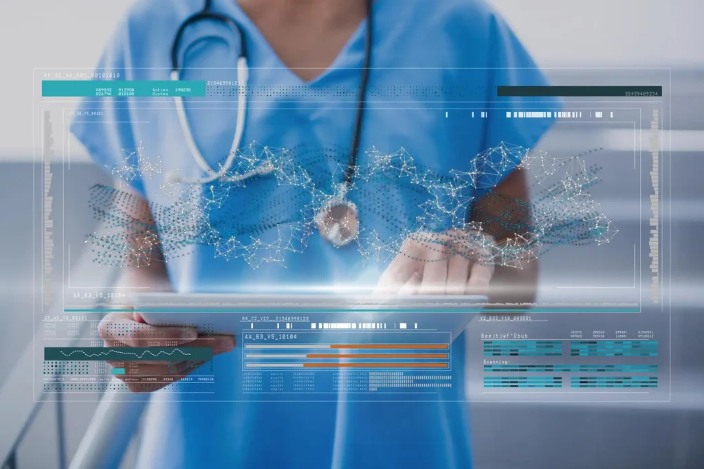
For Hospitals
Enhancing Patient Experience & Operational Efficiency
Use Case:
Patient Navigation & Experience
Mapsted’s indoor navigation platform guides patients and visitors effortlessly to their destinations — from outpatient clinics and diagnostic centers to wards and pharmacies. Real-time blue-dot positioning and intuitive turn-by-turn directions reduce confusion and lateness, enhancing satisfaction and reducing staff interruptions.
People counting and behaviour analytics supports the energy and hospital sectors by improving safety, access control, and operational efficiency through accurate monitoring of staff and visitor movement in critical facilities.
Benefits:
• Real-time indoor navigation via mobile
• Location sharing for family or support staff
• ADA-friendly accessibility features
• Integration with hospital appointment systems
Use Case:
Asset Tracking for Critical Equipment
Track the real-time location and status of wheelchairs, IV pumps, beds, defibrillators, or emergency kits using Mapsted IoT Tags — without needing Wi-Fi or external anchors.
Benefits:
• Real-time location tracking of mobile medical devices
• Maintenance scheduling & audit trails
• Loss prevention and asset utilization analytics

Use Case:
Patient Flow & Analytics
Visualize real-time movement across your facility with Mapsted Flow heatmaps and people counting. Monitor bottlenecks, optimize triage zones, and ensure policy compliance during pandemics.
Benefits:
• Heatmaps showing congested areas
• Wait-time and occupancy monitoring
• Predictive analytics for resource planning
Real Case Study: Hôpitaux Universitaires Genève (Switzerland)
Visualize real-time movement across your facility with Mapsted Flow heatmaps and people counting. Monitor bottlenecks, optimize triage zones, and ensure policy compliance during pandemics.
Benefits:
• Heatmaps showing congested areas
• Wait-time and occupancy monitoring
• Predictive analytics for resource planning

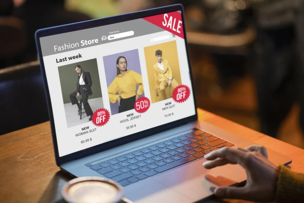
For Large Retail Malls
Increasing Dwell Time, Sales & Engagement
Use Case:
Blue-Dot Wayfinding & Smart Search
Enable shoppers to find stores, services, restrooms, and exits effortlessly. Add smart search to allow product-level lookup and route generation.
Benefits:
• Real-time blue-dot location
• Multi-language map support
• Kiosk, web and mobile compatibility
• Accessible search filters and categories

Use Case:
Contextual Promotions & Location Marketing
Deliver hyper-personalized promotions based on user movement, preferences, and proximity — all without Bluetooth beacons.
Benefits:
• Contextual push notifications & pop-ups
• Geo-conquesting to draw users from competitors
• Campaign heatmaps and engagement tracking
Use Case:
People Counting & Zone Analytics
Understand footfall across entrances, escalators, food courts, and high-value tenants. Use these insights for lease planning and ad placements.
Benefits:
• People counting accuracy without hardware
• Real-time zone-based engagement analytics
• Comparative analysis between zones or floors
Real Case Study: Fashion Outlet in Canada
Mapsted implemented real-time navigation and contextual promotions, resulting in a 12% increase in foot traffic to premium outlets and a 15% lift in average cart size.

For Airports
Streamlining Passenger Journeys & Optimizing Operations
Use Case:
Seamless Indoor-Outdoor Navigation
Guide passengers from drop-off zones to check-in, security, gates, lounges, and retail stores without hardware dependencies.
People counting and behaviour analytics helps the airports sector improve site safety, access control, and workforce management by monitoring personnel movement in power plants, substations, and critical facilities.
Benefits:
• Multimodal navigation from outdoor to indoor
• Integration with FIDS and flight status
• Custom map branding and airline wayfinding

Use Case:
Operational Analytics & Resource Planning
Use real-time traffic heatmaps and people movement data to inform queue management, staff deployment, and terminal layout decisions.
Benefits:
• Identify congestion at checkpoints
• Analyze zone usage patterns
• Predict peak hours with AI modeling
Real Case Study: FIFA World Cup 2022 Venue Support
Mapsted deployed location intelligence to support venue flow management during one of the world’s largest sporting events, helping optimize crowd movement and safety.

Why Choose Mapsted with LHS?
(EV Charger Park Example)
Frequently Asked Questions
1. What is people counting and how does it work without hardware?
People counting using Mapsted’s technology analyses movement patterns from mobile device sensor data and computer vision inputs to count the number of people in each zone of a facility in real time. Because the system uses existing smartphone sensors and optional CCTV integration rather than dedicated counting hardware, there is no infrastructure to install or maintain — counts are generated as a derived output of the location intelligence platform.
2. How does indoor navigation work in a hospital or airport?
Indoor navigation guides a user from their current location to their destination using blue-dot positioning on a digital map — exactly like Google Maps outdoors. In a hospital, a patient can be guided from the car park entrance to their specific outpatient clinic. In an airport, a traveller can navigate from their gate to a specific retail outlet or lounge. The positioning is achieved using Mapsted’s sensor fusion technology on the visitor’s smartphone, with no hardware installation required.
3. Can Mapsted integrate with our existing building management system?
Yes. Mapsted offers API integrations that allow occupancy and location data to feed into BMS, CMMS, and IWMS platforms. This enables applications such as demand-driven HVAC control based on real-time zone occupancy, and automated asset management workflows triggered by location data.
Let’s Transform Your Facility
Ready to explore how Mapsted solutions can be implemented in your hospital, airport, or mall? 👉 Contact us today at www.lhse.com for a personalized walkthrough and solution design.